Three days on the Dosewallips
As part of researching the planned trip to the Hoh, other Olympic rivers caught my eye. I decided that the idea of following the Hoh was such a good one, I’d expand it and thus learn even more, not only about rivers in general but about the peninsula and how its various pieces fit together. I identified nine rivers that I am hoping to explore; the first on my agenda was the Dosewallips.
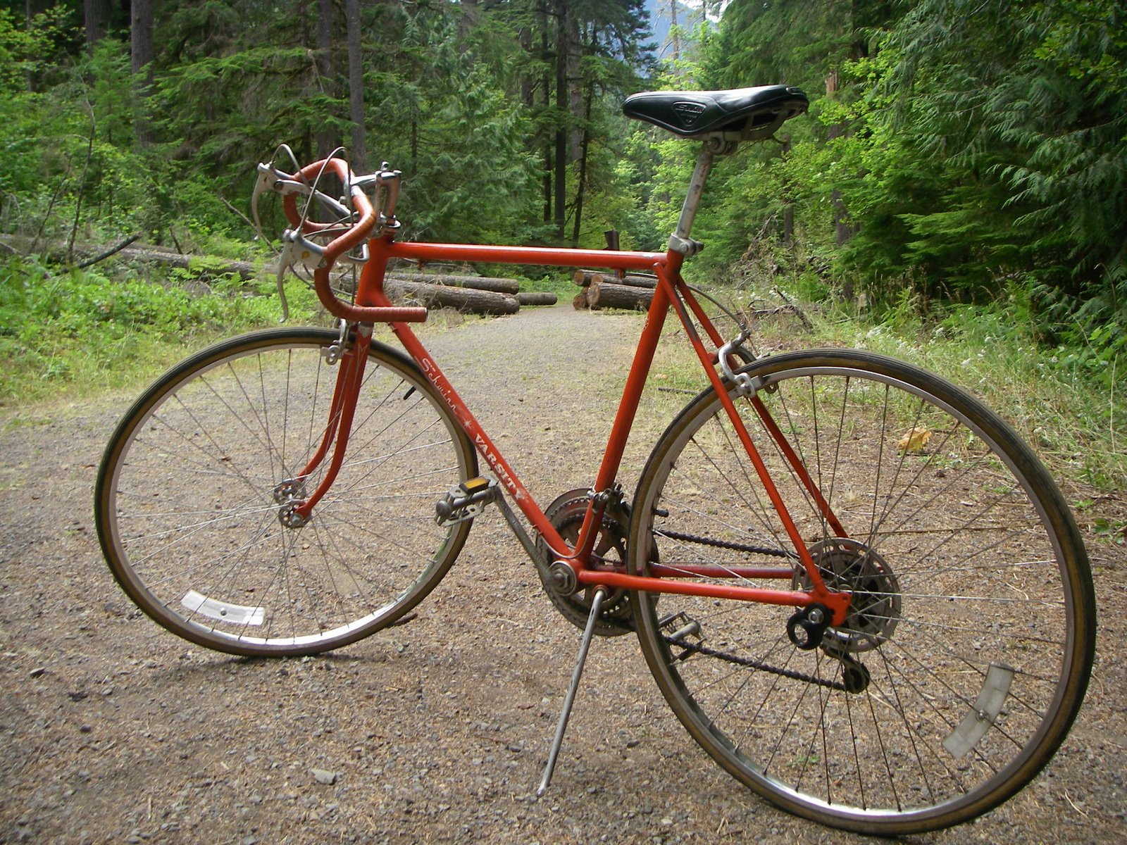
I was traveling light. My entire kit, including four liters of water, was stuffed into a pack that weighed in at 28 pounds. I left the van at the end of the Dosewallips River road, where flooding in 2001 had washed away a 300-foot section of roadway, effectively closing the last five miles to cars. I had brought the Orange Crush, my vintage Schwinn Varsity 10-speed, to help speed up the time to and from the trailhead, and I pushed it up and over the steep trail that connects the road sections, got to the other side and began to pedal. Most of the distance to the old Dosewallips Ranger Station is uphill, and I had to dismount and push a fair bit, but riding the Crush saved precious time right from the start.
The hike up the Dosewallips trail starts out in deep forest and climbs gradually for its entire length. There are streams that cross it often – 12 of them are named – and the abundance of water along 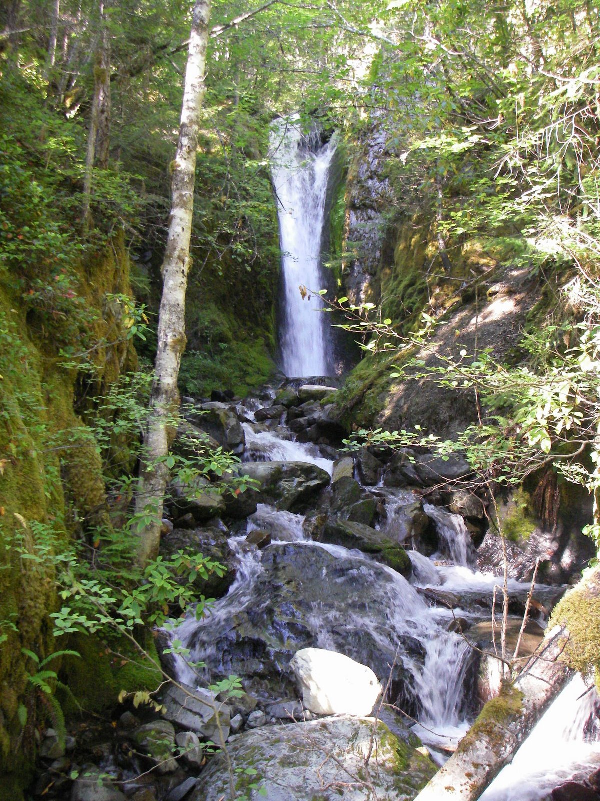 with the shady pathway helped to cool what had been a very warm day. I kept putting one foot in front of the other until a half-hour before dark, when I stopped for the night at Bear Camp after about eleven miles of hiking.
In the morning, I left the tent in place and loaded a light pack for my trip up Hayden Pass. The goal for the day was the summit of Sentinel Peak, at 6592 feet, the source of the Dosewallips River. 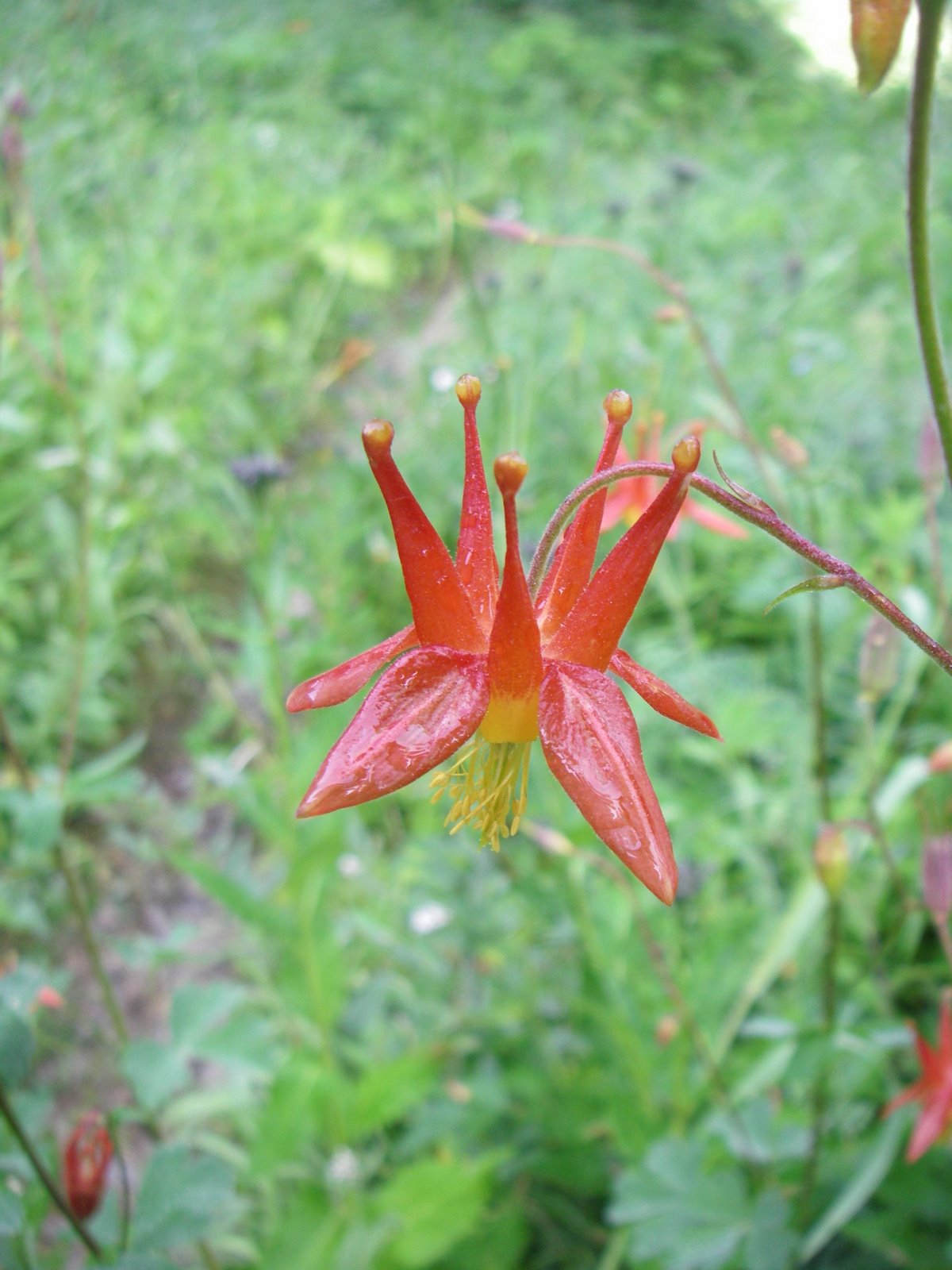 The morning dew was thick on the meadows and I was soon wet to the waist from wading though the brush along the trail. The wildflowers were everywhere: penstemon, cow parsnip, lupine and indian paintbrush. Looking across the acres of blooms near Dose Meadows, you could easily be convinced that it was April rather than August.
After Dose Meadows, the trail began to gain elevation quickly. I could see the summit of Sentinel Peak as I began the climb up Hayden Pass, and since it looked to be free of snow, I stashed my crampons and axe inside of a hollow tree. Shed the weight as much as possible. 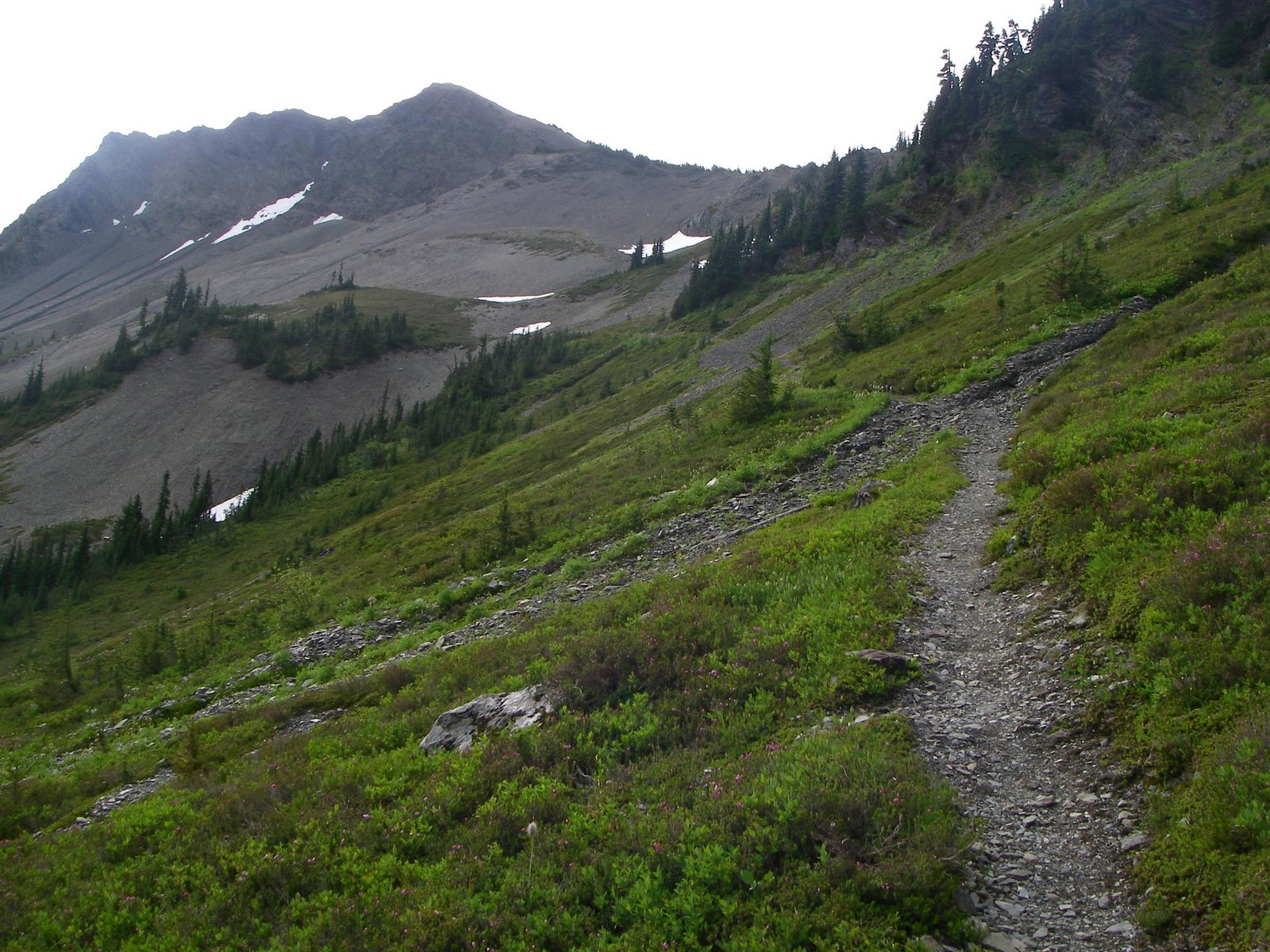 The climb was steady and laborious, but the trail was in good shape and I made good time.
I ate my lunch at the top of the pass, crackers, cheese and sausage (If I were kayaking, there would have been a bottle of wine, as well), then started up the summit trail. The route traversed the southwest side of Sentinel Peak, with Mount Anderson dominating the near view.  The rest of the Olympics could be seen in all directions, from Hurricane Ridge to Mount Olympus and beyond. Deep green valleys separated the ridges, and from this vantage point it was easy to see the way that the rivers in the Olympics have shaped the entire peninsula.
I made the summit after less than an hour of climbing, and was rewarded with the excellent views 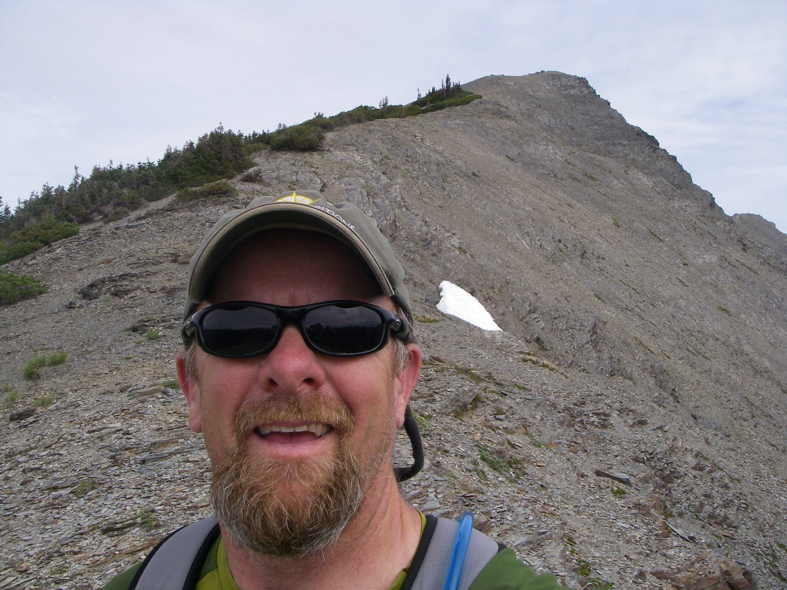 that make every summit worthwhile. I could see evidence of the past winter’s avalanches that had torn down the slopes leading into Silt Creek: jumbled carcasses of trees at the bottom of dirty vertical scars in the green of the forest. I sat in the breeze at the top for about a half-hour, then started back down.
I spent another night at Bear Camp and was up and on the trail early the next morning. The sky was clear and I could tell that the hot weather that had been promised for the rest of the week had arrived. I wanted to get as many miles behind me as possible before the heat found me.
Hiking through one of the meadows near the junction with the Gray Wolf Pass trail, I almost ran into a deer. I had my head down, watching for marmot holes, 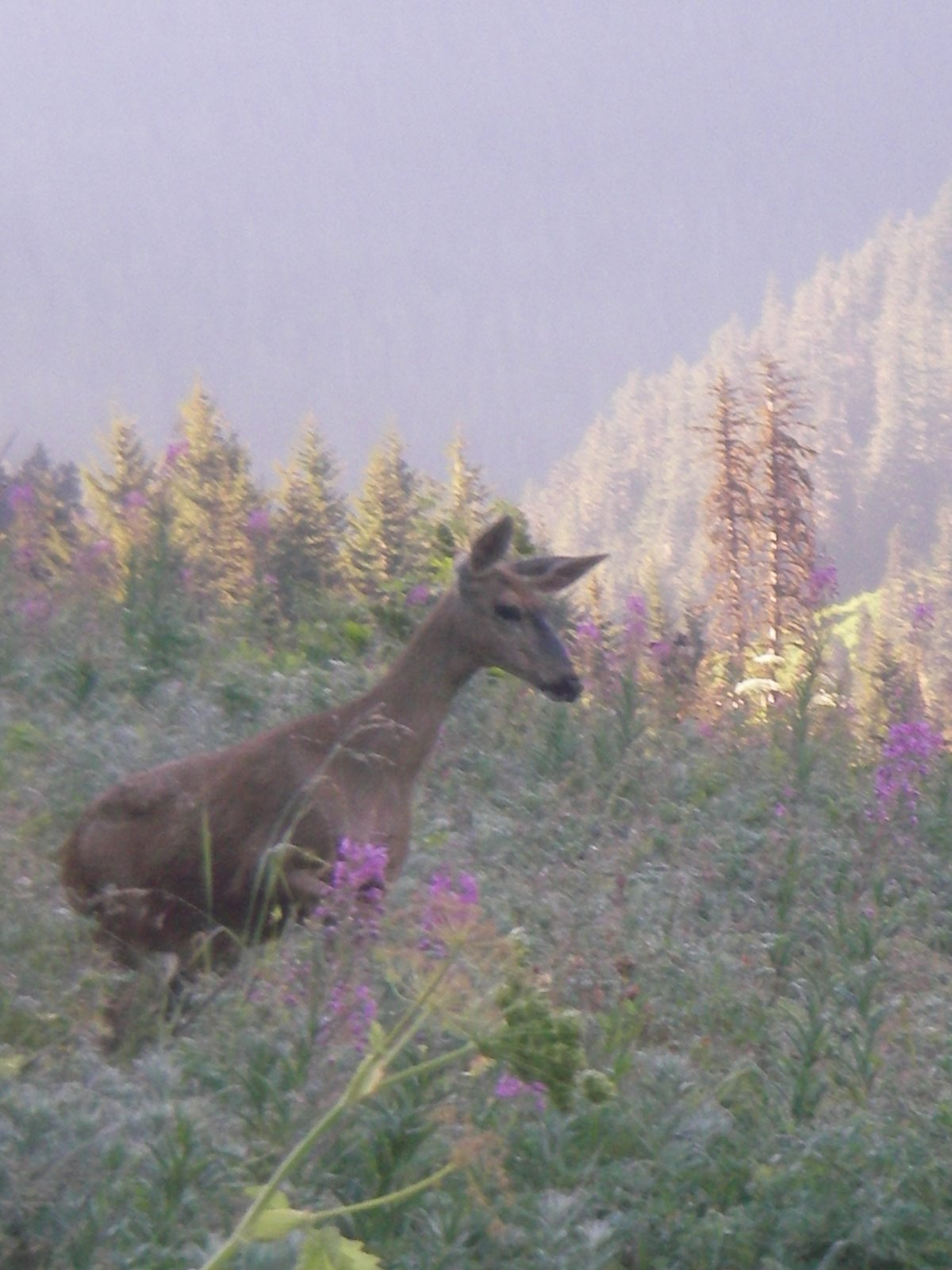 and she wasn’t paying attention either. We both looked up at the same time. She froze, and I reached into my pocket for the camera. After deciding that I wasn’t a threat, she made an arc around me, got back on the trail again, and we each went our separate ways.
The light pack did wonders for my pace and I reached the ranger station by noon. I recovered the Crush and set out down the road. There were a couple of places where I had to dismount and push, but gravity was firmly on my side most of the way, and I fairly flew down the ghost road to my starting point.
If there is anything better than a cold beer at the end of a long hike, I don’t know what it is.
About Ken Campbell
New Release
A story of sea kayaking and science on the rugged coast of Alaska. Coming – Spring 2014.
Follow Us On Instagram


