
The Captain is back
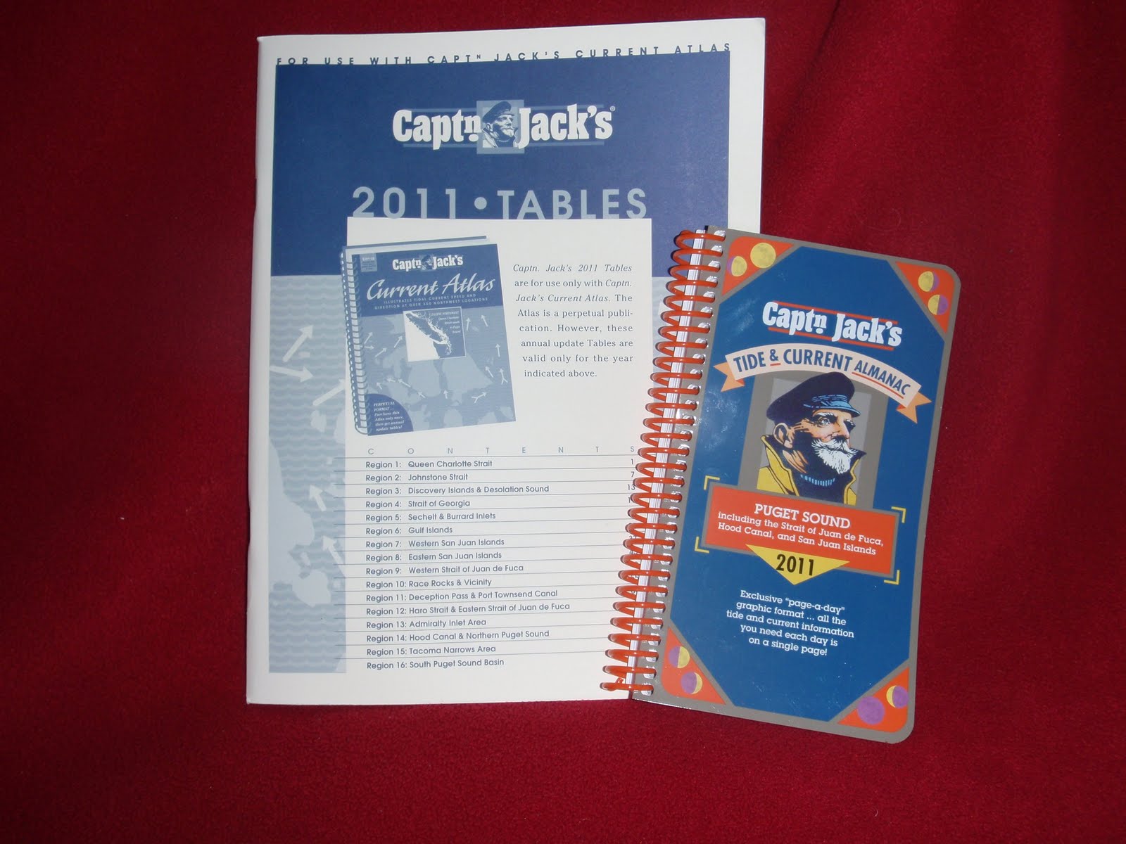
I use Captn. Jack’s Tide and Current Almanac. Best presentation of kayaker-related navigational information you can find anywhere. It features tide levels for nine different locations in the north Sound and nine others in the south, along with a variation table that gives even more localized data. Each page is a synopsis of the day’s tide info (presented in table and graph formats), sunrise/sunset times, and specific current readings for six different Puget Sound locations, places like Deception Pass and the Tacoma Narrows, where current is always an issue. It’s easy to use, it’s intuitive and it will make you a better paddler.
For the skinny on current info, you can’t do better than Captn. Jack’s Current Atlas. Unfortunately, it has been out-of-print for years now. (The new owners say that the next edition of the atlas will be out this year – but I have heard that before.) For those of you who already have the perpetual atlas, the 2011 Tables are in stock. I won’t spend too much time pushing the product; after all, it is only those who use the system already who will be interested in this year’s Tables. You know what I am talking about here, and you know I’m right. For the rest of you, however, buy the new Current Atlas when it comes out. Especially if you are intested in paddling the San Juans.
The Tide & Current Almanac is $17.95. The 2011 Current Tables is $12.95. Both are available from Azimuth Expeditions; you can order by email at [email protected] or by phone at (253)691-7941.
About Ken Campbell
New Release
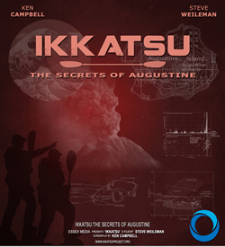
A story of sea kayaking and science on the rugged coast of Alaska. Coming – Spring 2014.
Follow Us On Instagram


