Sand Island
It is the nature of islands near the mouths of major rivers to change locations, to appear and disappear – both in reality and in written record – to shimmy and dance with the currents that are continually creating and destroying them. When an island actually goes by the name of “Sand,” the effect becomes even more noticeable.
Sand Island, at the mouth of the Columbia River, isn’t even in Washington. I don’t know… I find that a curious geographic anomaly… maybe it’s not that amazing. Still, even though it’s a mere gunshot away from Ilwaco, on the Washington shore, it’s actually part of Oregon. I’ve paddled to it from both directions and I can tell you, straight up, it’s a lot easier to get to from the north than from the south.
Current is the main story; Sand Island is the supporting actor. The swirling currents of the Columbia bar and the back eddies associated with the ins and outs of the river shoreline are the reason that Sand Island exists at all. It hasn’t always been here. Captain Vancouver noted it in his charts; Lewis and Clark did not. Even among those who agreed that it was there, there were differences about just where, exactly, it was located. Here’s how the “Coast Pilot of California, Oregon and Washington, Fourth Edition,” described it in 1889:
In 1841 it was almost abreast of Point Adams and less than one-third the width of the river from the point. In 1850 it had moved a little seaward, and was farther from Point Adams. In 1868 it was more than half-way across to Cape Disappointment but inside the line. In 1886 it had taken a shape like a boomerang with one point a mile and a quarter east of the Cape and on the same parallel, and the other point bent up the river and three miles northwest from Fort Stevens.
Sand Island sits in Baker Bay, dominates Baker Bay, and makes the surrounding flats and snaking channels a workout for boats of all kinds. Kayakers have an advantage, sort of, in that we don’t mind running aground from time to time, but our reliance on muscle power for propulsion can bring other difficulties. Sometimes, the water running out goes faster than we can keep up with. Anyone who’s ever paddled the Nisqually delta, Willapa Bay or the mouth of the Skagit is familiar with this sad fact.
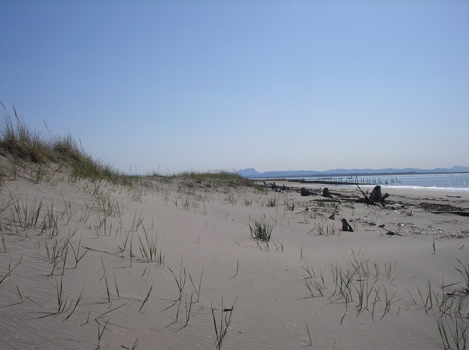
Sand Island is about two miles long and 400 yards wide. There are trees, small ones, in the interior section, but most of the ground cover is scrub and sea grass. Beachcombing can be very interesting.
It’s a difficult island to paddle around. I haven’t done it for a while.
About Ken Campbell
New Release
A story of sea kayaking and science on the rugged coast of Alaska. Coming – Spring 2014.
Follow Us On Instagram


