
Recon
 Aberdeen area all that much, but I’ve still managed to see most of it, either from a car or an airplane.
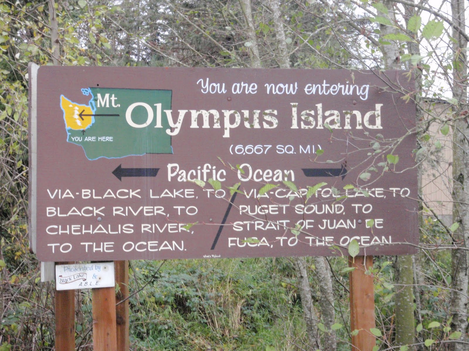
The one section that I expect will be truly new and different is the Black Lake portion of the route. And it comes right up front. No warm-up… the first strokes of the expedition will be on waters that are not familiar to me and, by the time I leave the lake and enter the Black Bayou maze, I will be in places that are not familiar to anyone.
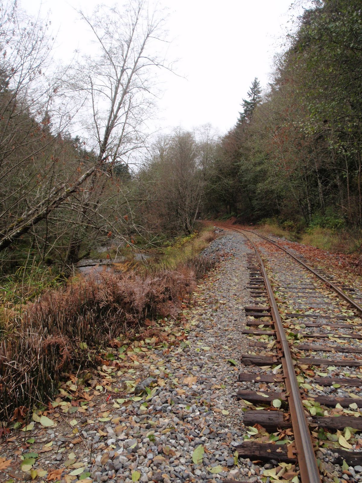
From Capitol Lake, I’ll follow Percival Creek as it runs alongside the railroad tracks and winds up toward the lake. I went for a short recon yesterday before the Great Big Sea show in Olympia, just to get the lay of the land, see how it all fits together. The creek, along with the Black Lake Drainage Ditch up above it, flow a combined 3.3 miles from Black Lake down to Capitol Lake at Percival Cove. (The drainage ditch was dug in 1922 and later plans called for it to be part of a canal that had been proposed to run between Olympia and Gray’s Harbor, which was never constructed. Fortunately.)
From what I hear, the watercourse is divided into three separate sections, each with its own feel and character. The lower section runs through a densely wooded canyon while the center portion meanders through fields and flatter terrain. The upper stretch flows out of Black Lake and through a 25-foot wide channel carved into a 160-acre wetland area. I’ve been poring over the images from Google Earth… it’s not that easy to follow it just yet, but being there yesterday gave me a little more of an idea about what it will entail.
I also went to the lake, to see the other end of the watercourse. It was windy and cold, and I could only see a short distance up the lake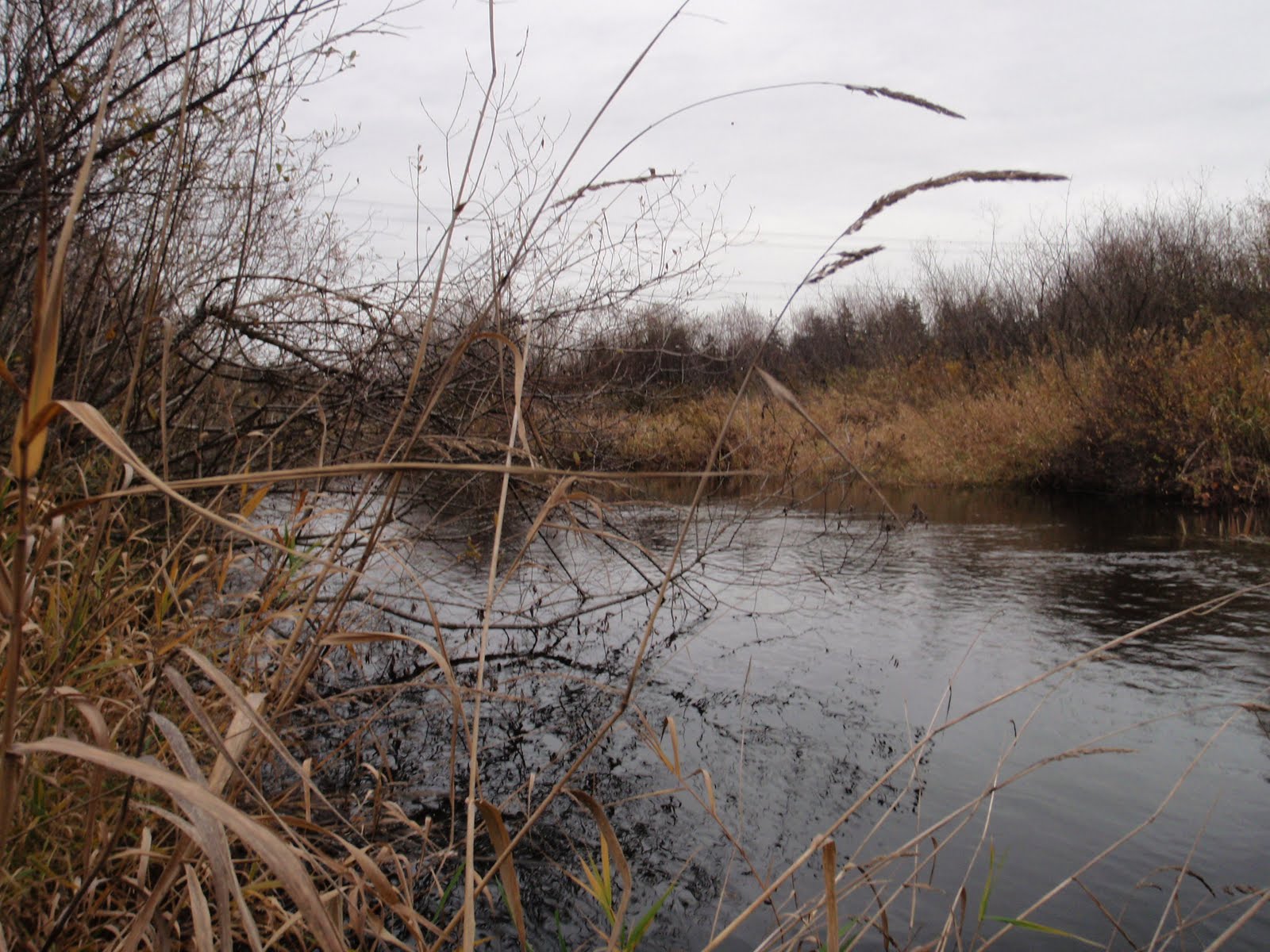 from where I stood on the bridge above the entrance to the drainage ditch. The creek was flowing quickly and pushing out a high volume of water from all the rain we’ve been getting over the past few days. The channel looked easy to follow, at least as far as I could see, but there were no easy trails that ran alongside it, so I was content to look at it from the road, for now. There will not be nearly as
 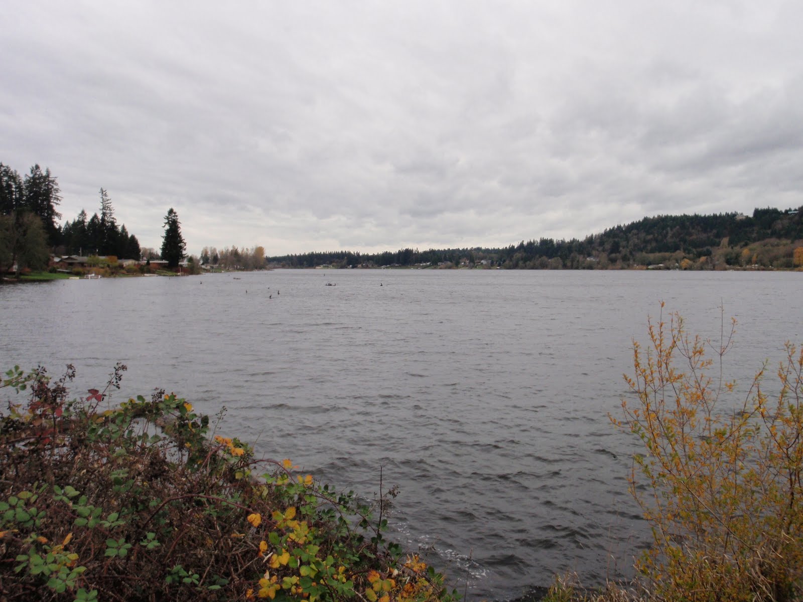 much water here when I see it in July.
I don’t think that my passage through this part of the route will be as difficult as what I can expect from the bayou on the south end of the lake, the convolution of braids and dead-ends that eventually coalesce into the Black River, somewhere near Littlerock. It’s an intriguing start, however, and I am looking forward to it.
About Ken Campbell
New Release
A story of sea kayaking and science on the rugged coast of Alaska. Coming – Spring 2014.
Follow Us On Instagram


