A Really big map
In the Ikkatsu Expedition division of labor, Kiwi is the map guy. He works in GIS, so he has the expertise and the equipment needed to put together a map that covers the entire expedition coastline. He actually made two that he dropped off for me the other day, and the small one is about four feet long. The big one is a work of art, eight feet from top to bottom and my biggest challenge is going to be finding a wall I can hang it on. (You can see a picture of Kiwi with the map at the Ikkatsu site.)
For planning purposes, I’m using the smaller one. Curt Ebbesmeyer wanted us to divide the route up into one-mile sections of coastline, then document our surveys based on that breakdown. I’ve marked the map already and I’m looking at each of the segments to try to pick the areas where I expect the debris to be the most likely. I’m looking for southwest facing hooks and small pockets where the coastal currents would indicate likely deposition. It’s a start and I don’t know that all the beaches I pick now will end up being the ones where we will actually do the grids, but in order to be able to change a plan, you have to have one.
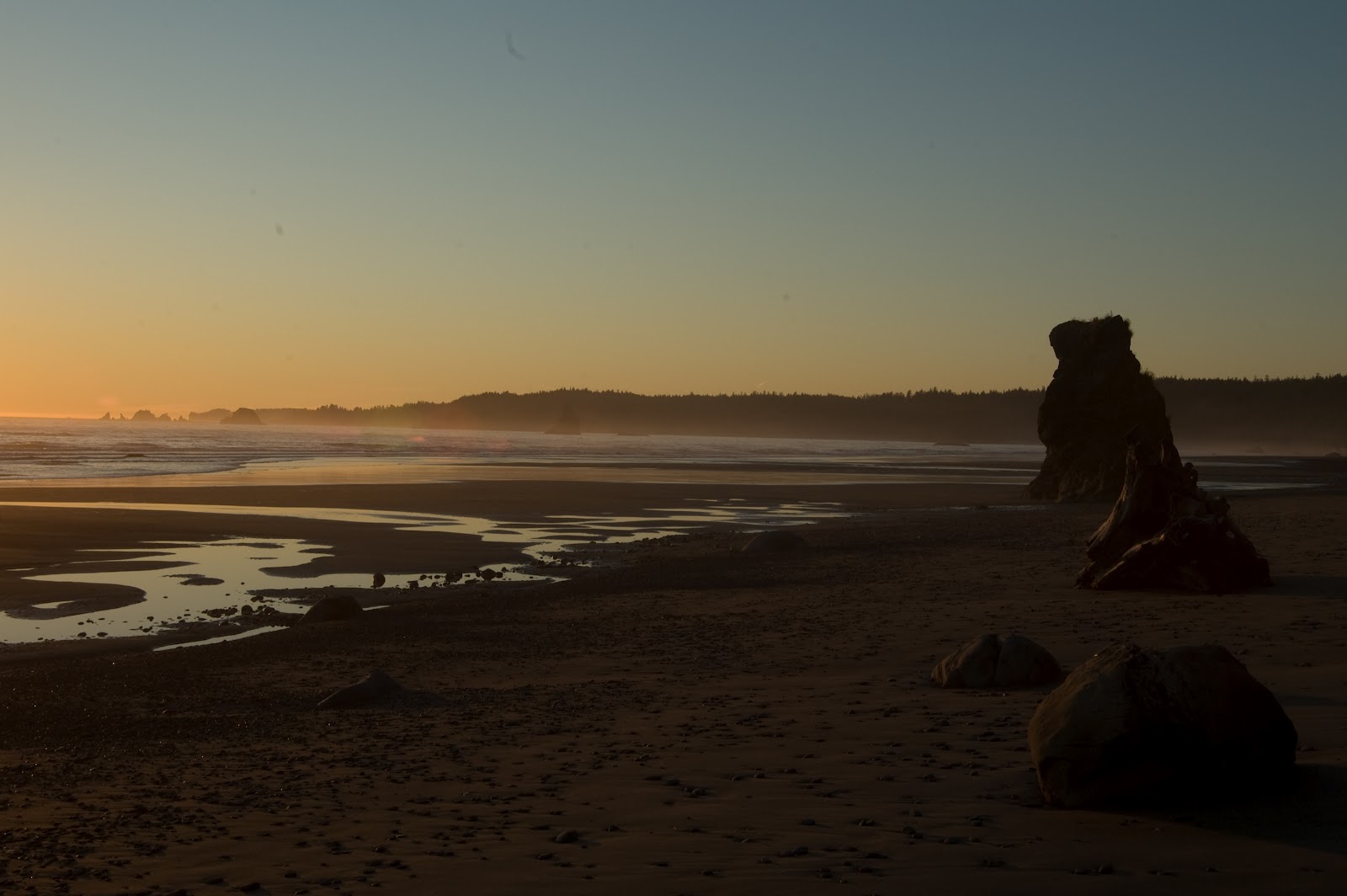
Mostly, as I sit looking at the new map and tracing the shoreline with my finger, I’m imagining the way it’s going to be when we’re out there. Cape Flattery, Point of the Arches, Goodman Creek… they are so much more than names on a piece of paper…
About Ken Campbell
New Release
A story of sea kayaking and science on the rugged coast of Alaska. Coming – Spring 2014.
Follow Us On Instagram


